Map shows exact moment Storm Ashley will hit UK THIS WEEKEND with 80mph winds

THE EXACT moment Storm Ashley will hit Britain has been revealed as the country braces for 80mph winds and travel chaos.
The first storm of the season was named by Irish meteorological service Met Éireann – which warned of “very strong and gusty southerly winds”, coupled with high spring tides.
The Met Office has also issued amber and yellow weather warnings for Sunday, covering swathes of the country – mostly along the western coast.
The coast of Wales, north-western England and the vast majority of Scotland and Northern Ireland – which are covered by a yellow warning – are set to feel the effects of Storm Ashley from 3am on Sunday.
But the western coast of Scotland is also affected by an amber weather warning as of 9am on Sunday, with the most severe effects of the storm being felt until just before midnight.
The Met Office said gusts could reach up to 80mph in exposed areas, with a “good chance” that power cuts may occur, with the potential to affect other services, such as mobile phone coverage.
There will also “probably” be some damage to buildings, such as tiles blown from roofs, in the areas affected by the amber warning, forecasters warned.
They said it would be closer to 65mph in other parts of the warning area.
“These strong winds in conjunction with high spring tides may cause some disruption,” the Met Office said.
They added that there is a chance of injuries and danger to life from flying debris.
There is a slight chance that power cuts may occur, with the potential to affect other services, such as mobile phone coverage in areas affected by the yellow weather warning, the Met Office said.
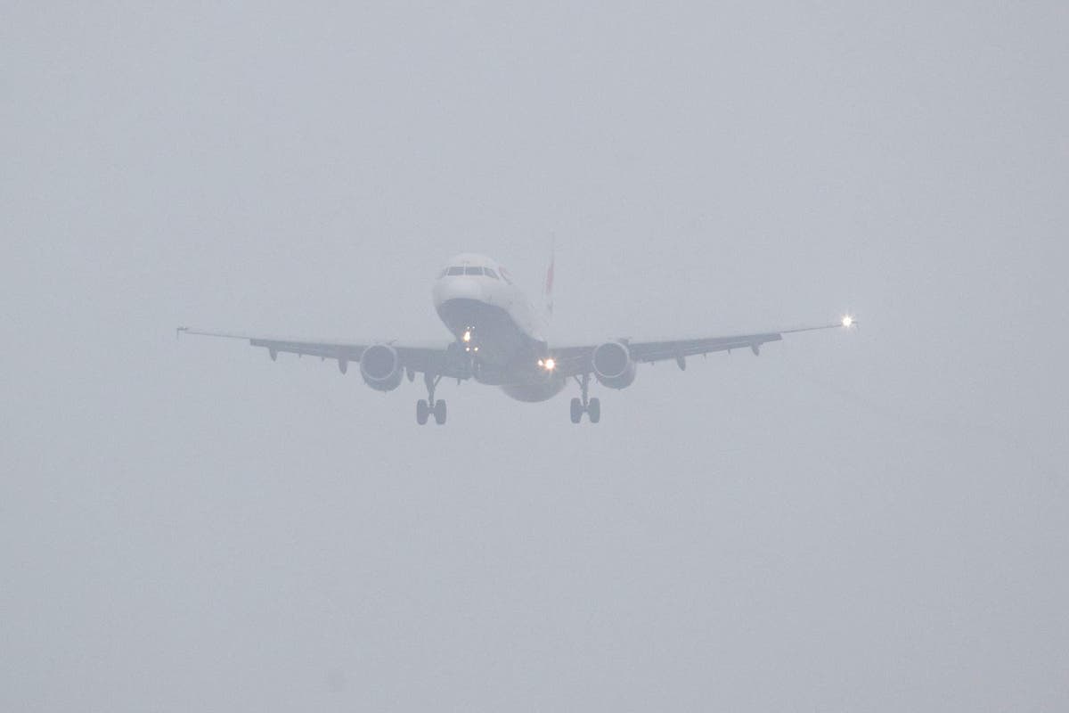
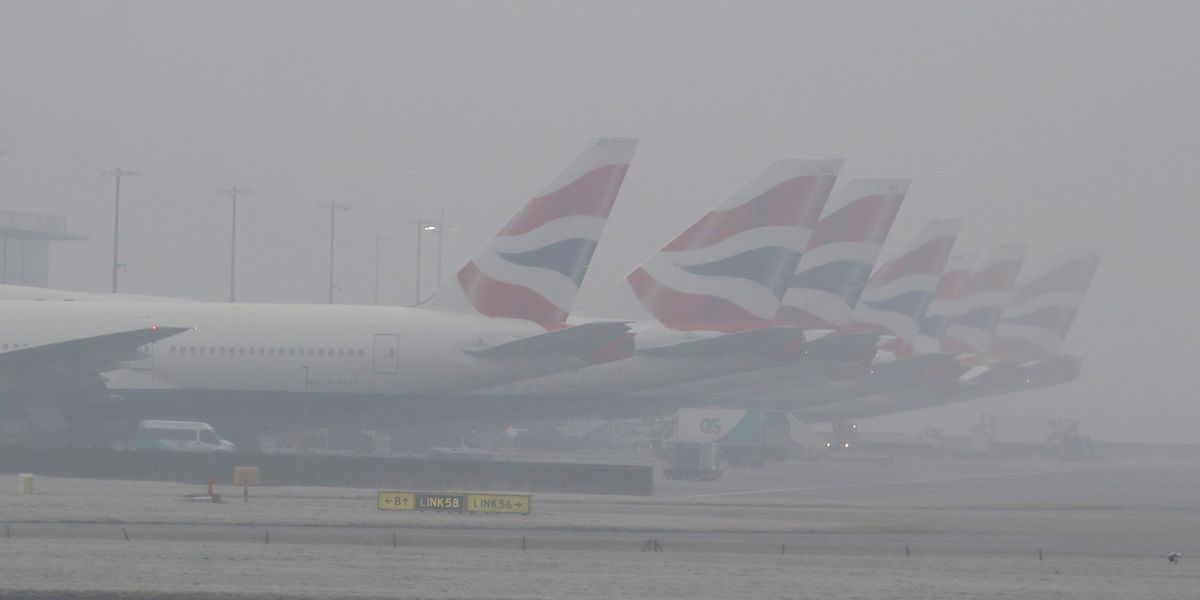
It comes after a foggy start to today, with the forecaster issuing a severe warning lasting through rush hour and covering much of the South East of England and the Midlands earlier.
The weather agency said: “Areas of fog, dense in places, are likely to cause travel delays this morning.”
The warning was in place until 9am, with the weather slowing down journey times.
The area covered by the alert included both Gatwick and Heathrow airports.
Chief Meteorologist Jason Kelly said: “A period of strong south to southeasterly winds is likely across western Scotland on Friday morning into the early afternoon, before easing and turning southwesterly through the afternoon.
Areas affected by the amber warning
Highlands & Eilean Siar:
- Na h-Eileanan Siar
- Highland
Strathclyde:
“Wind gusts of 45-55mph are possible fairly widely for a time, and perhaps in excess of 60mph in more exposed locations.
“Given the wind direction and high spring tides, some disruption is possible.”
However, things will be dry and brighter further south and east, with temperatures near normal or just above average.
The weather is set to remain unsettled going into the weekend, with further rain at times tomorrow.
By Sunday, a deep area of low pressure will arrive from the Atlantic bringing more widespread strong winds, particularly in northern and western areas.
Related
Travel chaos as thick fog sparks mass delays at UK’s…
Get the free Morning Headlines email for news from our reporters across the worldSign up to our free Morning Headlines emailSign up to our free Morning Headline
Festive travel chaos erupts at key UK airports as fog…
Widespread fog has triggered major disruption at Britain's busiest airports, with dozens of flights cancelled and hundreds more delayed across the country.Passe
Christmas travel chaos breaks out at UK airports including Gatwick…
Was your flight delayed? Email milo.pope.mol@mailonline.co.uk By MILO POPE Published: 20:54 GMT, 27 December 2024 | Updated: 21:03 GMT, 27 D
UK travel chaos warning as Britain’s busiest stations shut down…
Two of Britain’s busiest rail stations are set to close for a total of nine days as travellers prepare for the ensuing chaos.London Liverpool Street is curren


